Trams UK
Croydon Tramlink
|
|
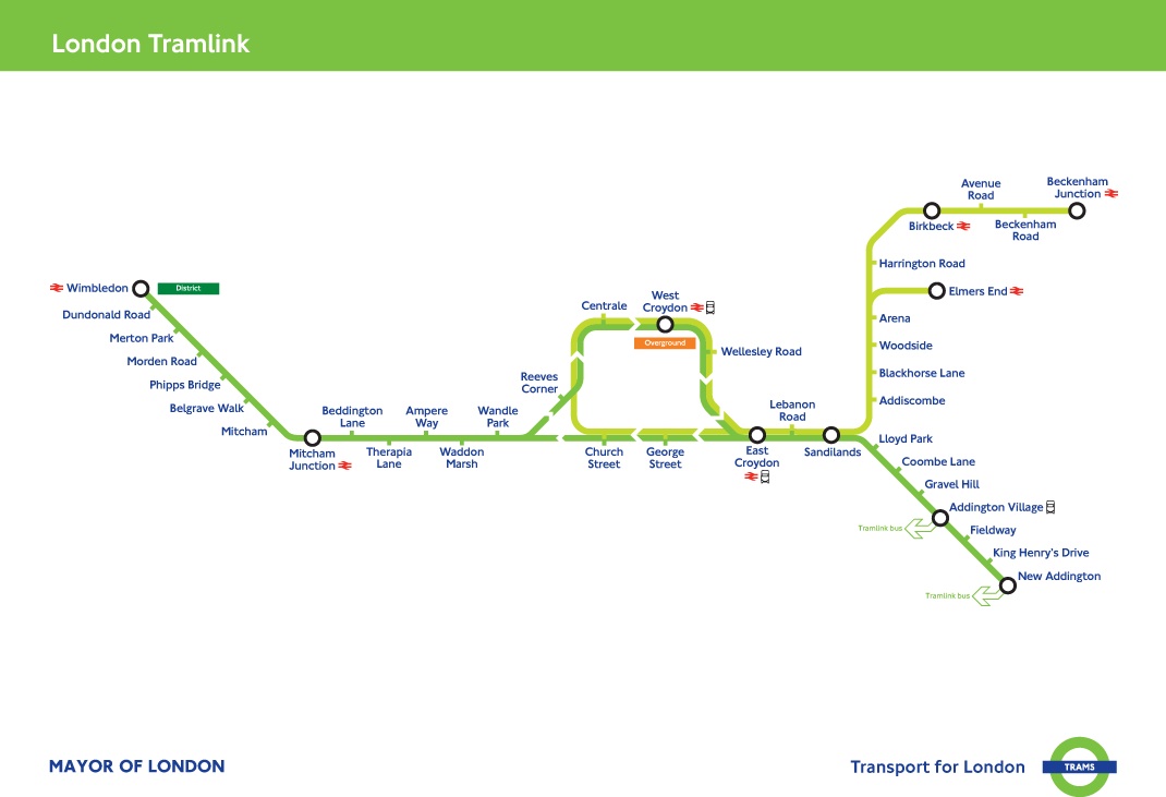
London Tramlink route map |
| Tramlink is a light rail system in south
London. It began operation in May 2000 as Croydon Tramlink, serving
mainly the London Borough of Croydon. It is operated by London Tramlink an arm
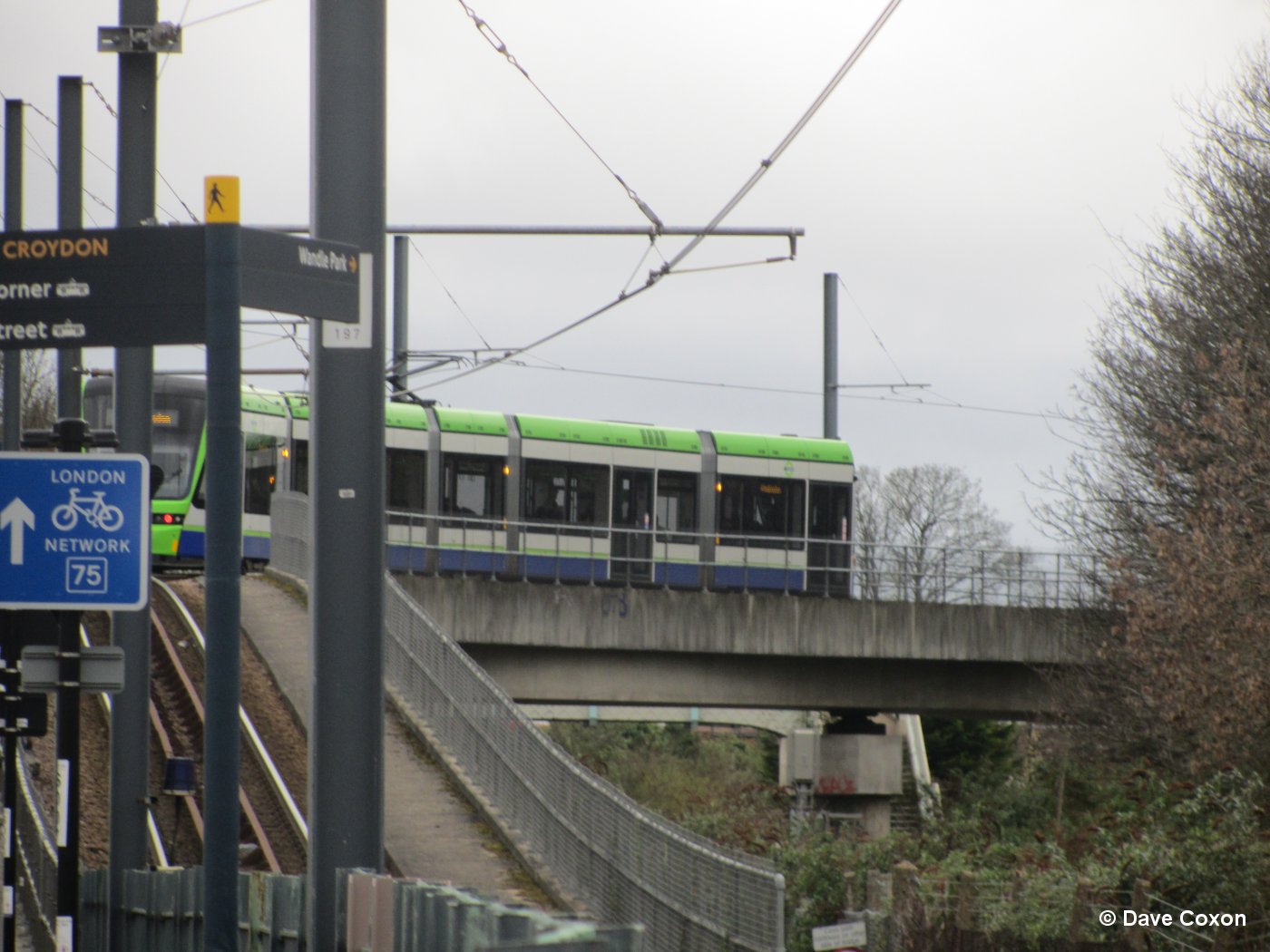
of Transport for London (TfL). Tramlink serves seven National Rail stations and has one interchange with the London Underground, at Wimbledon for the District Line, and one with London Overground, at West Croydon for the London Overground East London Line; one of the factors leading to its creation was that the London Borough of Croydon has no London Underground service. Tramlink runs on a mixture of street track shared with other traffic, dedicated track in public roads, and off-street track consisting of new rights-of-way, former railway lines, and one section of alignment (not track) shared with a third rail electrified Network Rail line. |
2007-8
 |
2535 outside East Croydon Station |
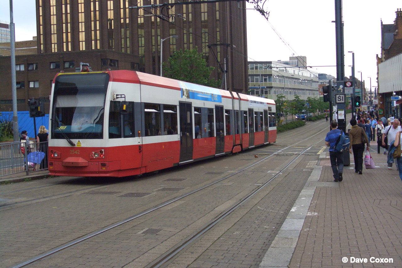 |
2542 leaving East Croydon Station |
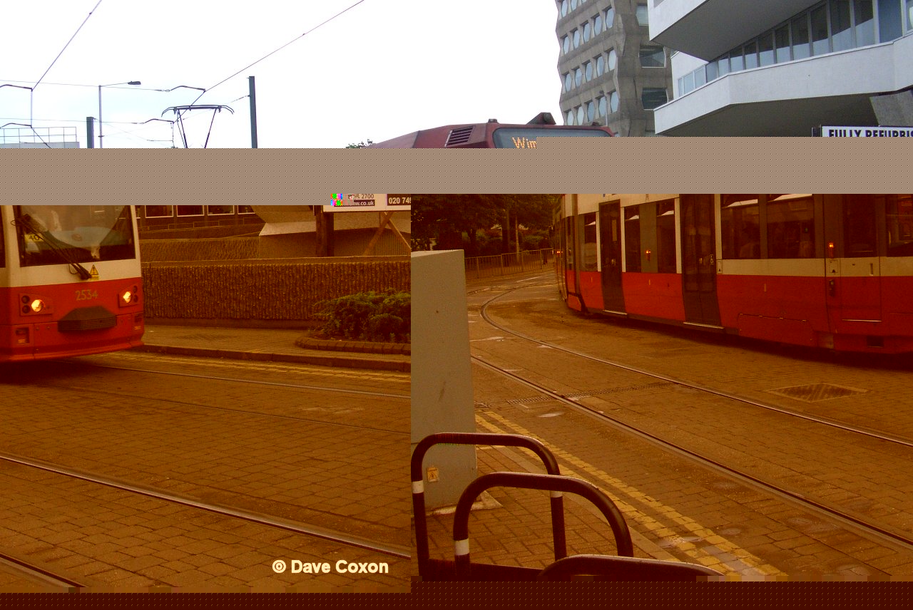 |
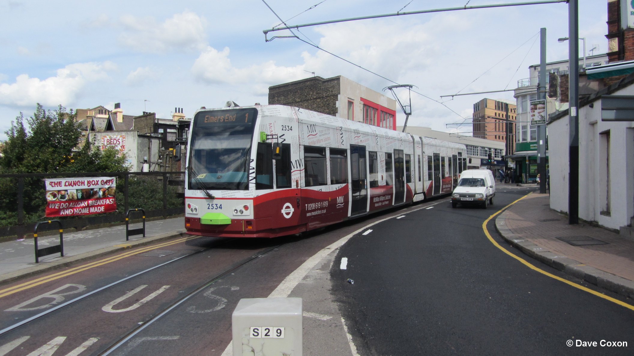
2534 near East Croydon Station |
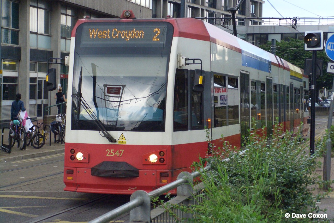 |
2547 near East Croydon Station |
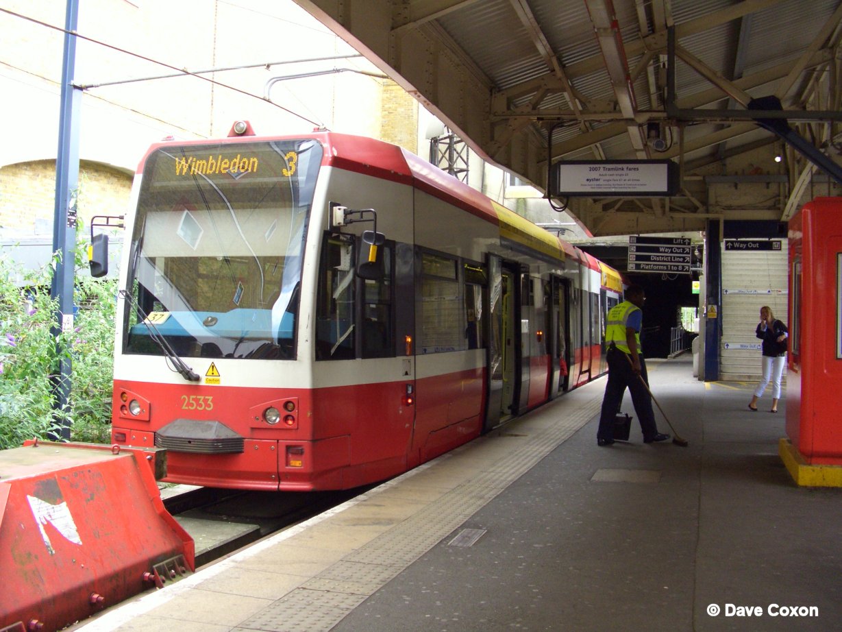 |
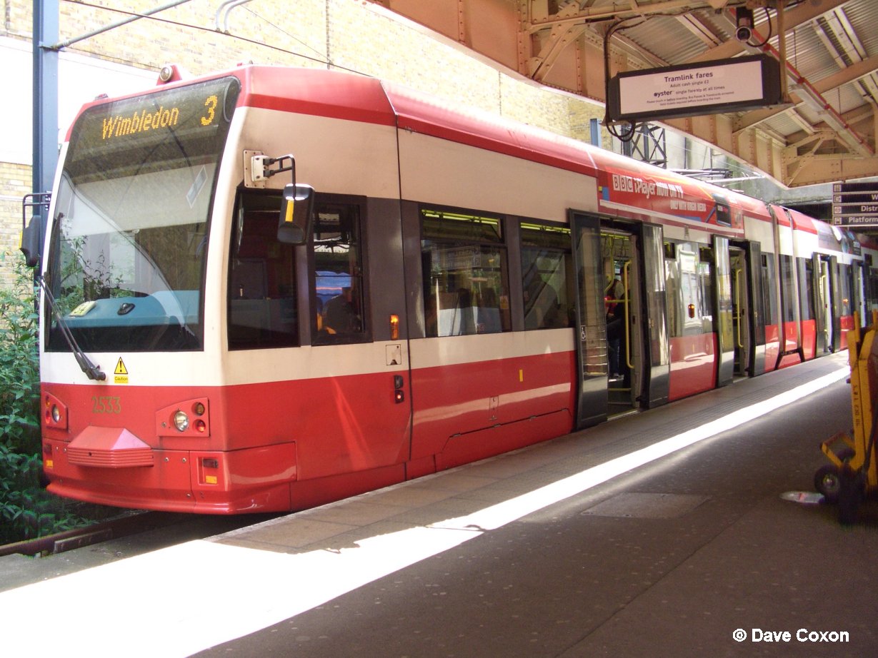
2533 at Wimbledon railway station |
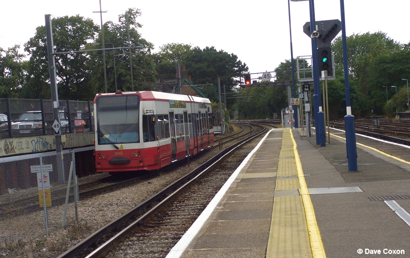 |
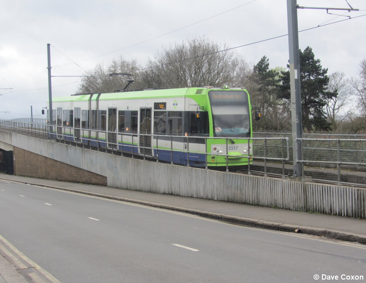
2545 passing Beckenham railway station |
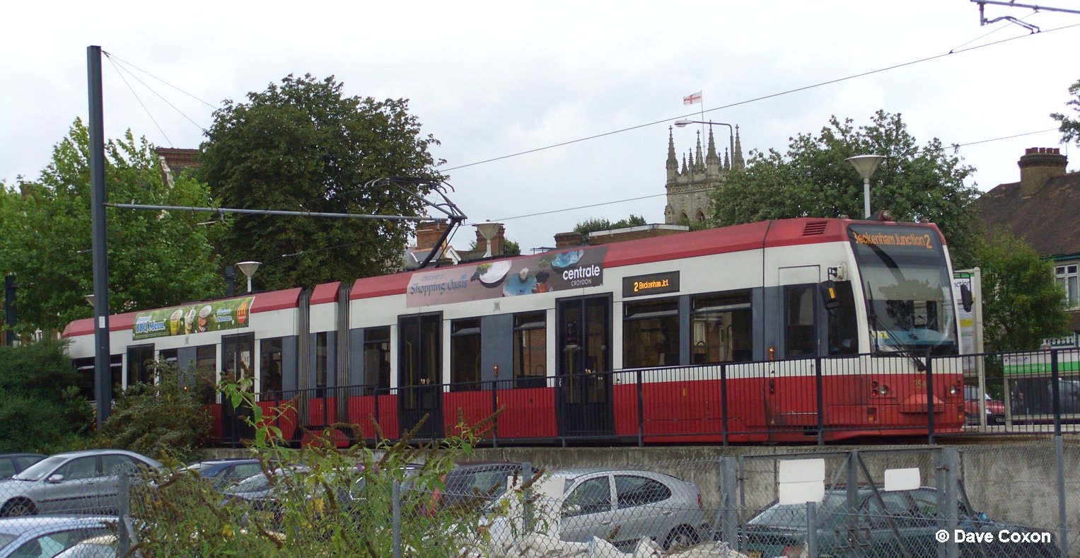 |
2545 at Beckenham |
 |
2545 at Wimbledon railway station |
2014
 |
2552 at Wimbledon |
 |
2539 approaching Arena |
 |
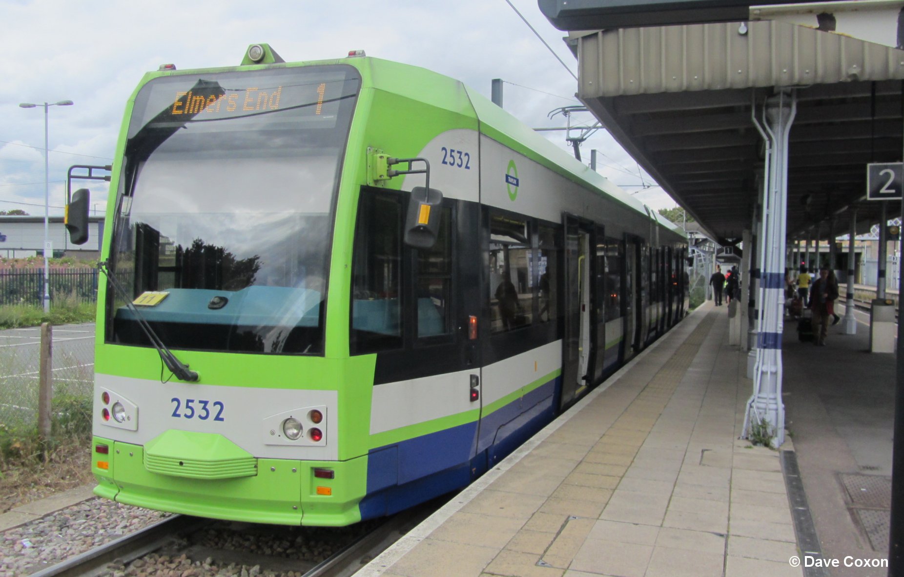
2532 approaching Sandilands |
 |
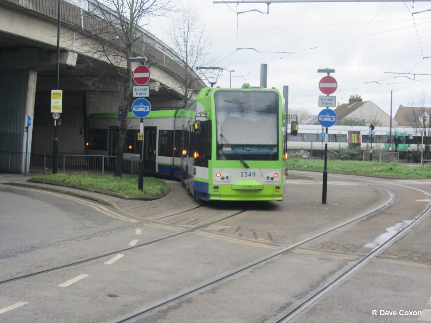
2534 in West Croydon |
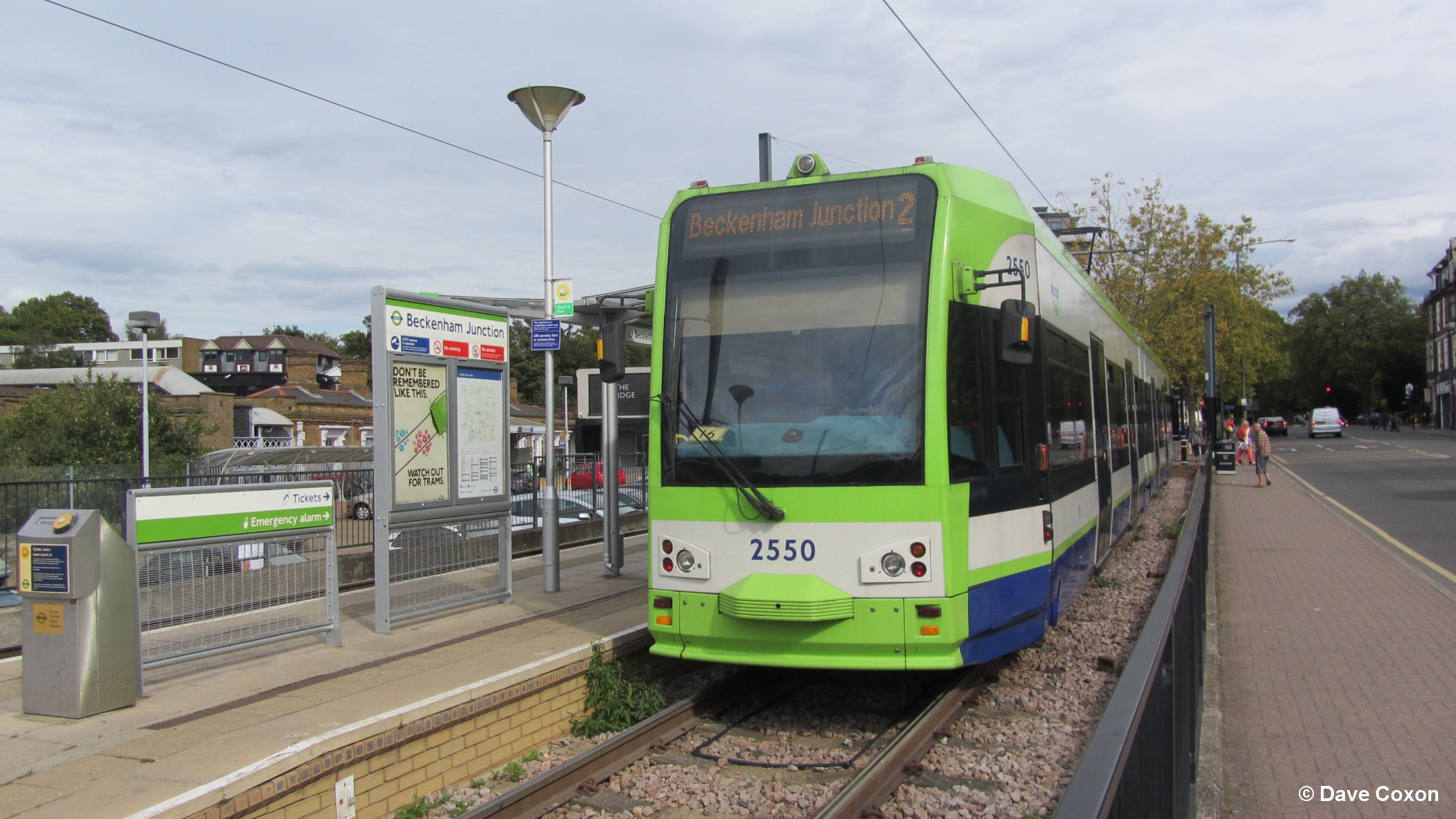 |
2550 at Beckenham Junction |
 |
2539 departing New Addington |
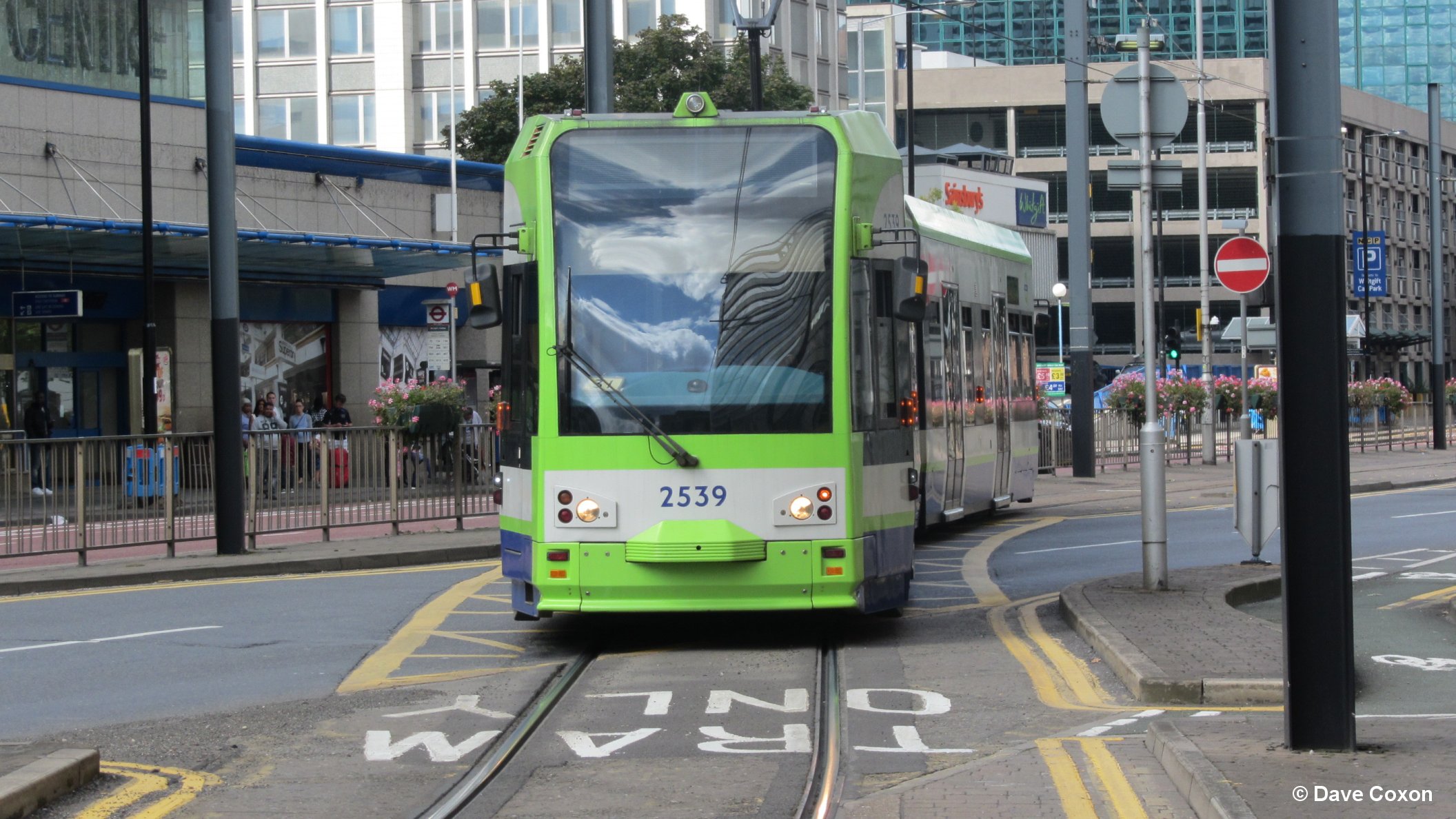 |
2539 approaching Wellesley Road |
 |
2019
 |
2548 at Wimbledon station |
 |
|
 |
 |
||
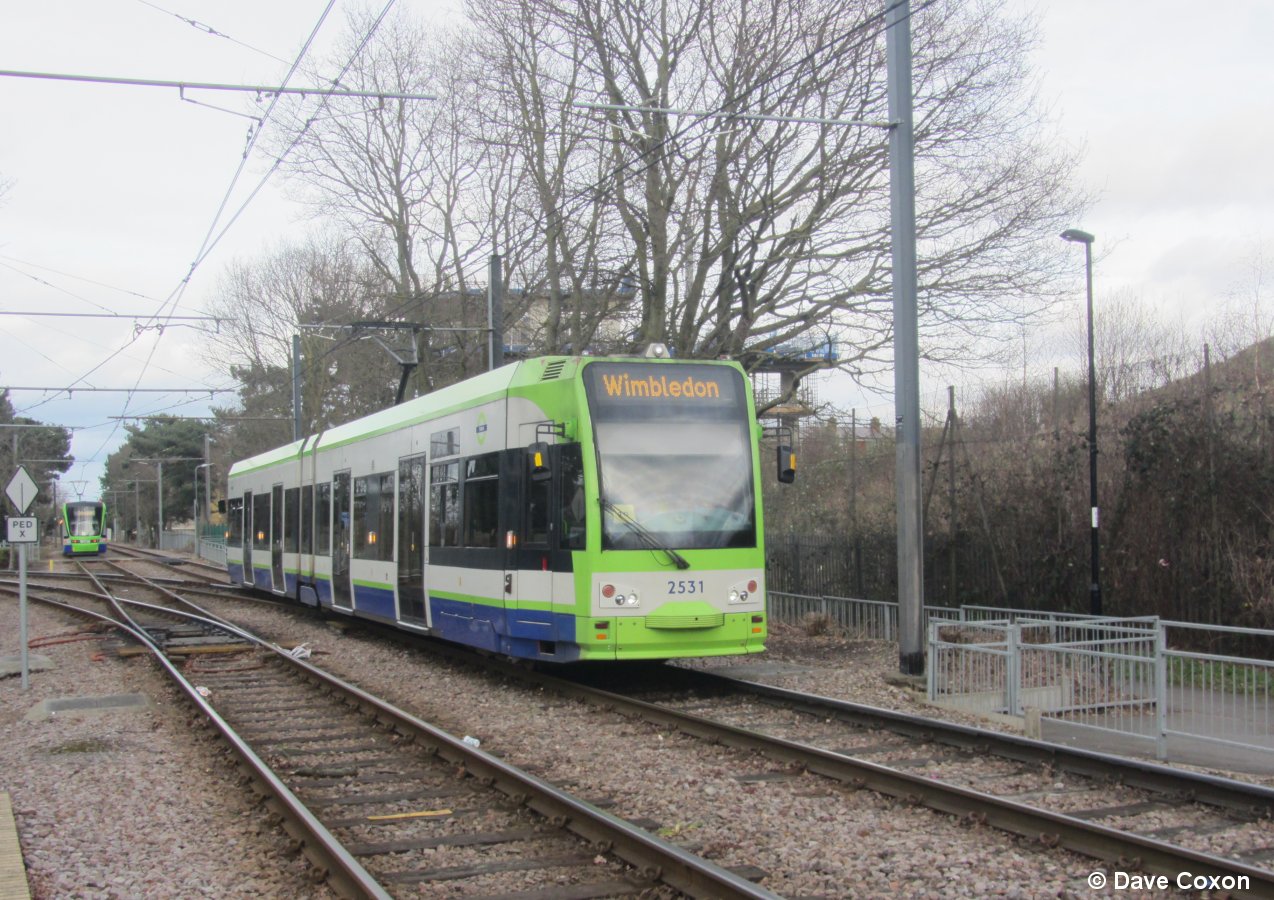 |
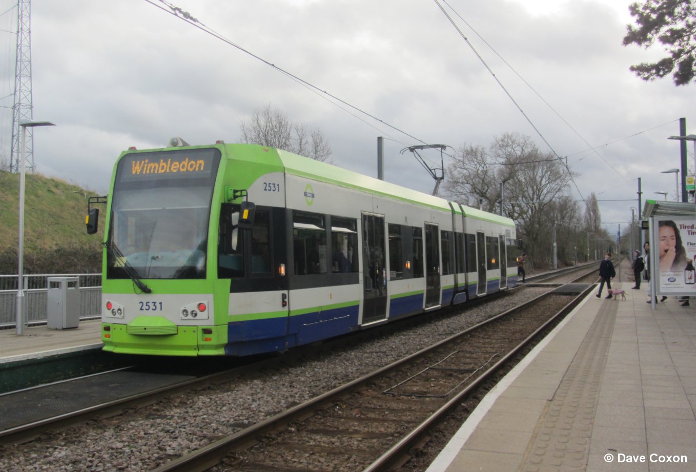
2531 approaching Arena |
 |
2021
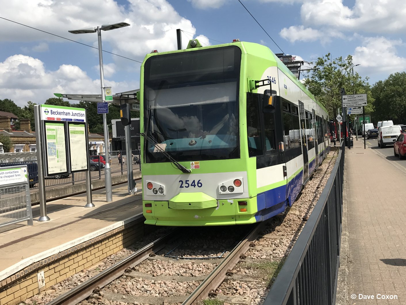 |
2546 at Beckenham Junction |
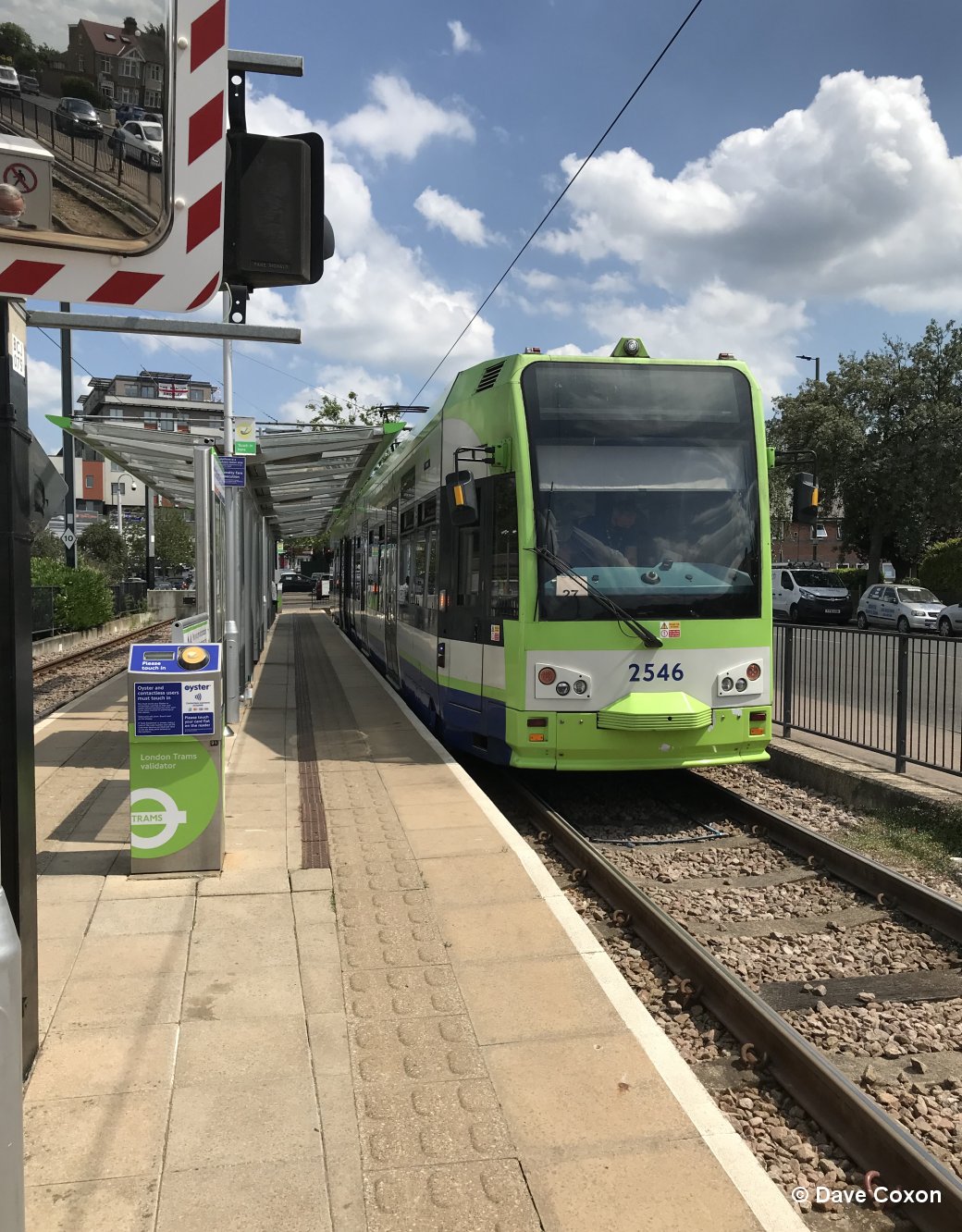 |
2546 at Beckenham Junction |